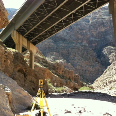
Surveying & Mapping
Terrascape Consulting provides a comprehensive suite of land survey and mapping services for both public and private sectors, encompassing Development Projects as well as stand-alone Survey Services. We recognize that effective communication and precise technical information are crucial for project success.
Our survey staff takes immense pride in delivering exceptional services, consistently exceeding our clients’ expectations. We are committed to ensuring accuracy, completeness, and reliability in every aspect of our survey and mapping solutions, supporting our clients’ projects with confidence and expertise.
Utilizing state of the art equipment & technology our Survey staff provides the following services:
- Aerial Photogrammetric Surveys
- ALTA/ACSM Land Title Surveys
- Boundary Retracement Surveys
- Cadastral Retracement Surveys
- Condominium Plats
- Construction Layout
- Easement & Parcel Mapping
- FEMA Certifications
- GIS Based Utility Mapping
- Land Record Research
- Legal Descriptions & Exhibits
- Maps of Dedication
- Subdivision Plats